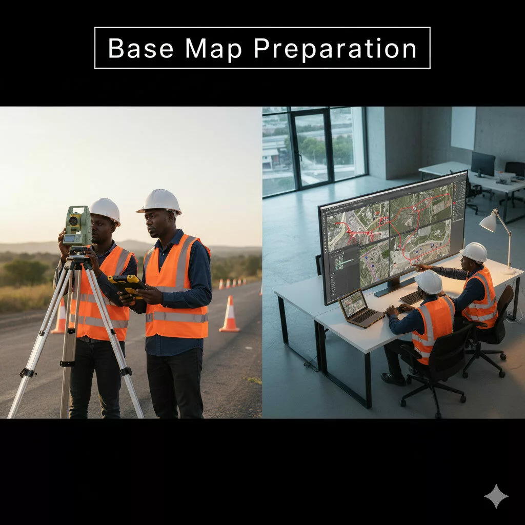

Our Services
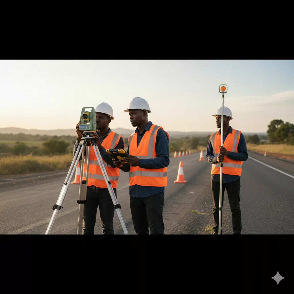
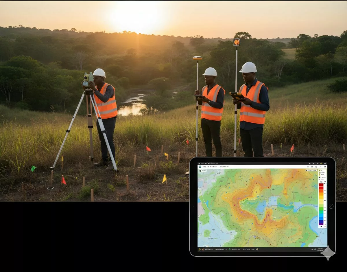
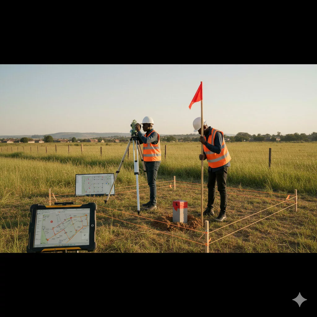
Geodetic Ground Control
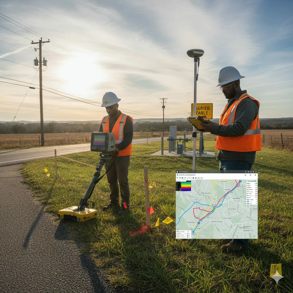
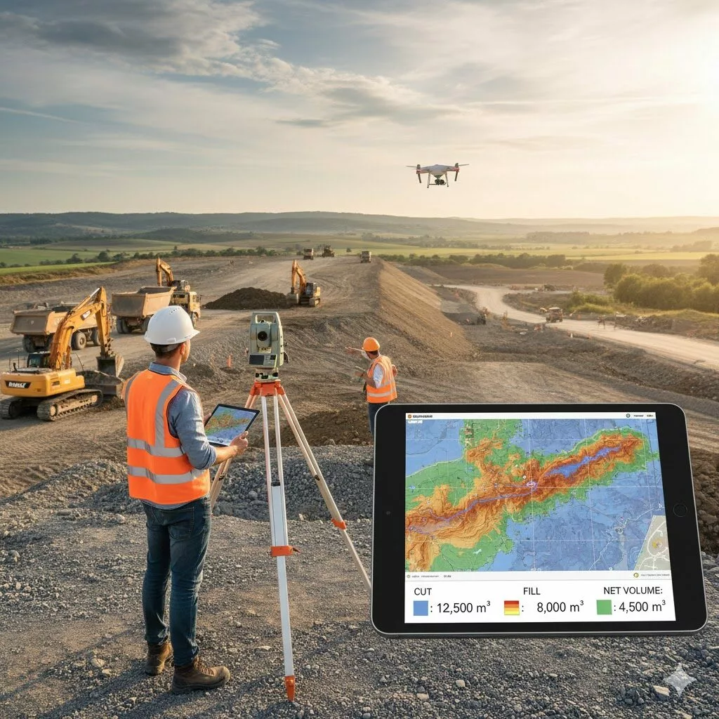
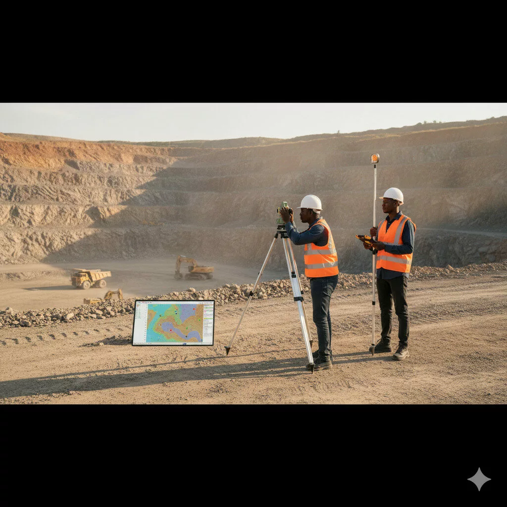
Geodetic controls are the cornerstone of accurate mapping and construction.We establish high-precision control points using GNSS and total station methods tied to national or global coordinate systems. These serve as