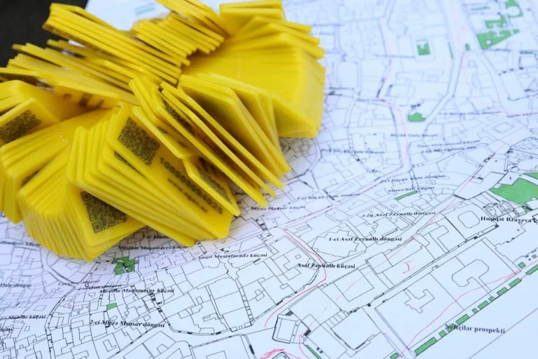

Base Map Preparation
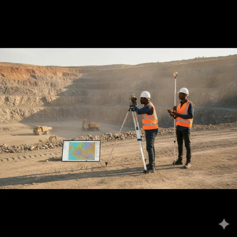
Every infrastructure project begins with a strong base map. We combine survey data, satellite imagery, and GIS tools to produce precise base maps for towns, development sites, and industrial layouts.
Our maps capture all relevant spatial features, providing a dependable framework for land-use planning, zoning, and design.
Outcome: Accurate and layered base maps that improve planning and decision-making.