GIS Applications
Leverage the power of spatial intelligence.
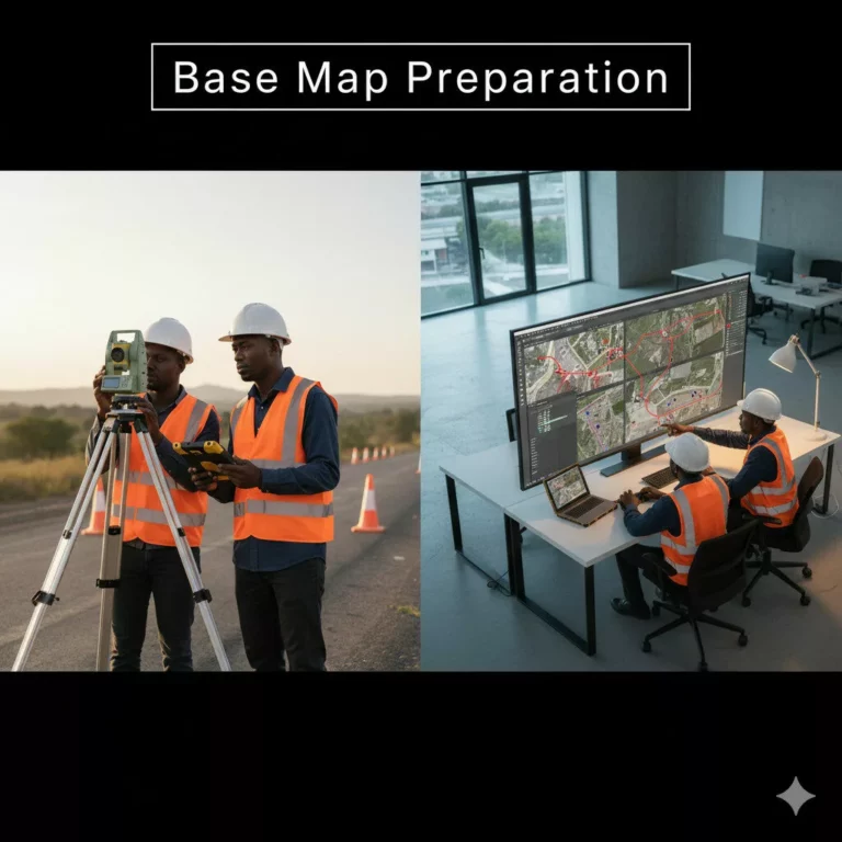
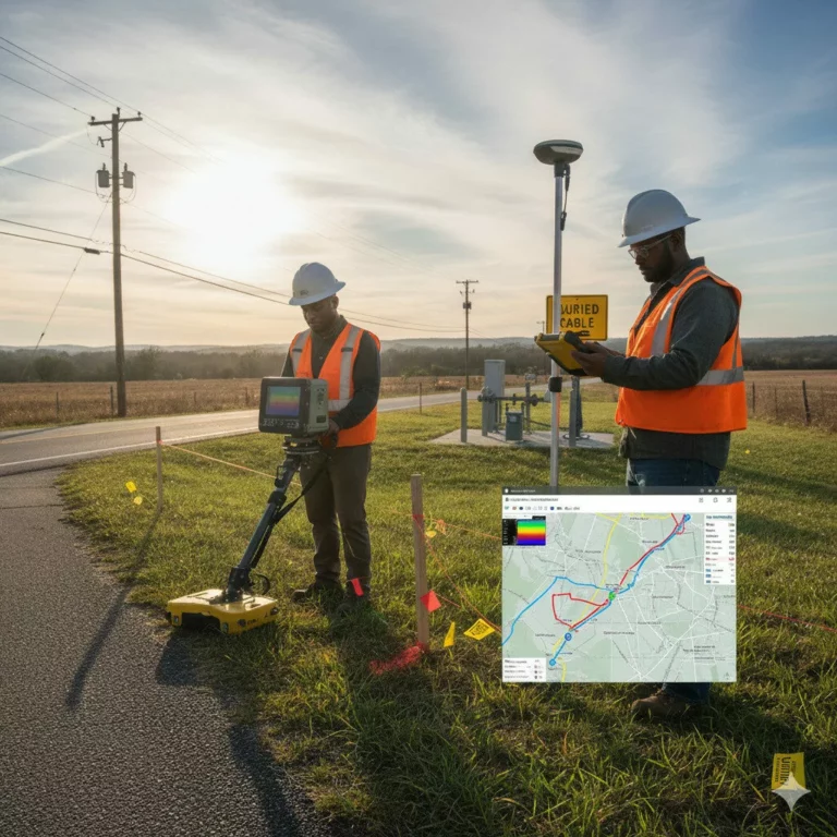
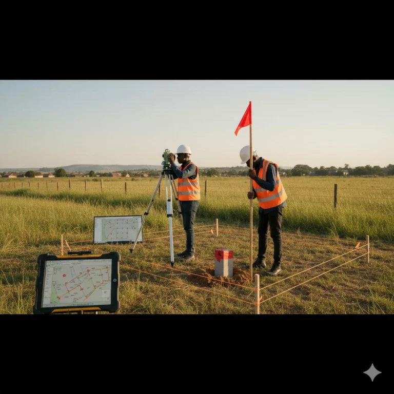
We offer GIS-based solutions for data visualization, mapping, and analysis that enhance planning and asset management.
Our GIS team provides:
- Spatial database creation
- Land-use mapping
- Utility network management
- Decision-support mapping
Outcome: Actionable spatial insights that drive smarter infrastructure decisions.


