Earthworks & volume calculations

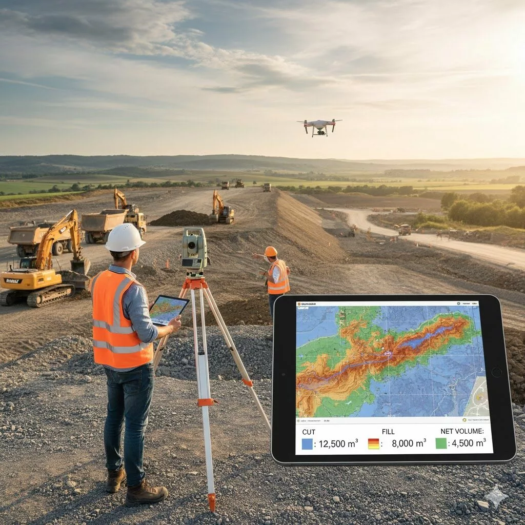
Earthworks & Volume Calculations

Our earthworks services support contractors in tracking material movement and managing costs.
We provide:

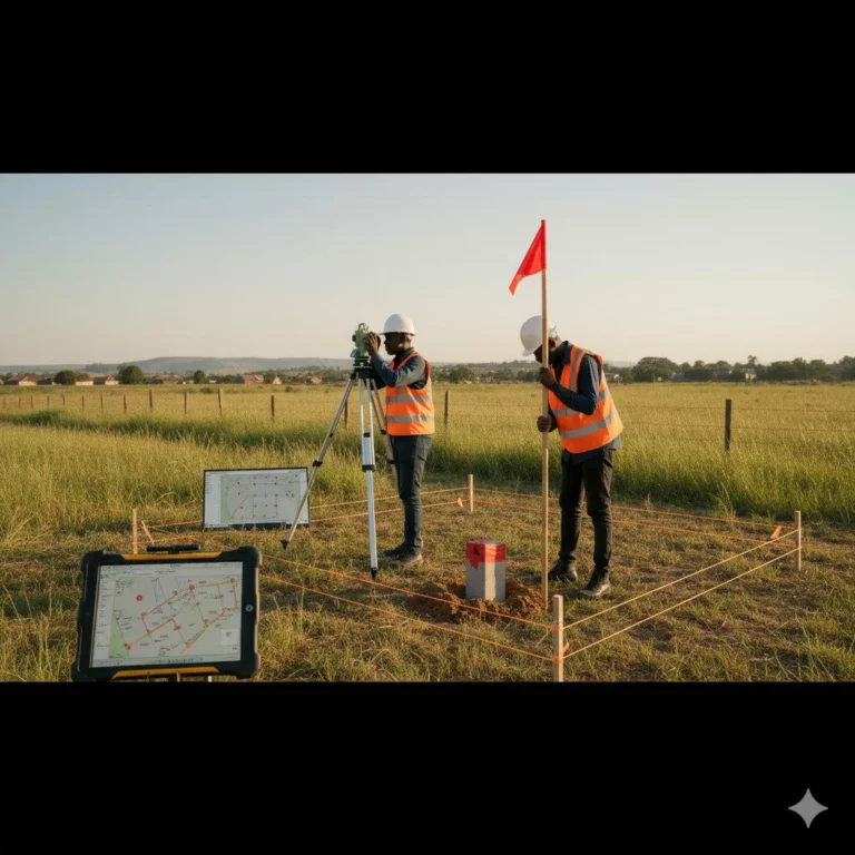
  • Cut-and-fill analysis for grading optimization
  • Stockpile volume measurement
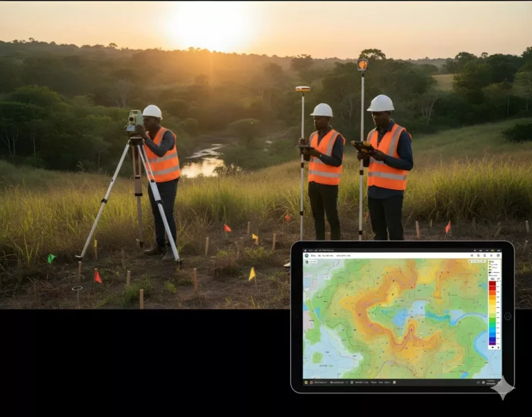
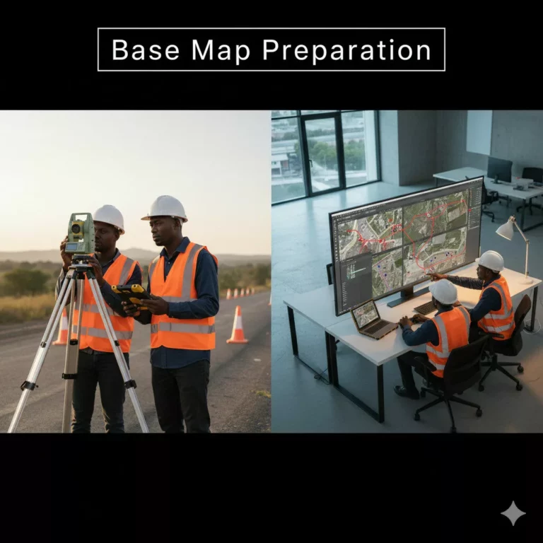
  • Contour modeling and progress surveys

Using advanced 3D modeling and drone technology, we help clients minimize waste and maximize efficiency.

Outcome: Accurate volume reports that support cost-effective construction and project monitoring.

Similar Posts

  • Geodetic Ground Control

    Geodetic controls are the cornerstone of accurate mapping and construction.We establish high-precision control points using GNSS and total station methods tied to national or global coordinate systems. These serve as reliable references for all future surveys and construction work. Outcome: Consistent, precise, and reproducible survey data across all project phases.

  • GIS Applications

    Leverage the power of spatial intelligence.We offer GIS-based solutions for data visualization, mapping, and analysis that enhance planning and asset management.Our GIS team provides: Outcome: Actionable spatial insights that drive smarter infrastructure decisions.

  • Mining Surveys

    Mining operations rely on precise spatial data — and we deliver it with confidence.Our mining survey services include: We use high-accuracy instruments to ensure safety, efficiency, and compliance in all mining environments. Outcome: Optimized extraction, improved safety, and minimized operational costs.

  • Topographical Survey

    Drive into the future with our electric vehicles and accessories. At KenEmyPlus, we promote clean, energy-efficient transport solutions that suit every lifestyle.What we offer:• Electric Cars (EVs)• EV Charging Stations & Accessories• After-Sales Support & Servicing• EV Education & Consulting

  • Base Map Preparation

    Every infrastructure project begins with a strong base map. We combine survey data, satellite imagery, and GIS tools to produce precise base maps for towns, development sites, and industrial layouts.Our maps capture all relevant spatial features, providing a dependable framework for land-use planning, zoning, and design. Outcome: Accurate and layered base maps that improve planning…

Leave a Reply

Your email address will not be published. Required fields are marked *