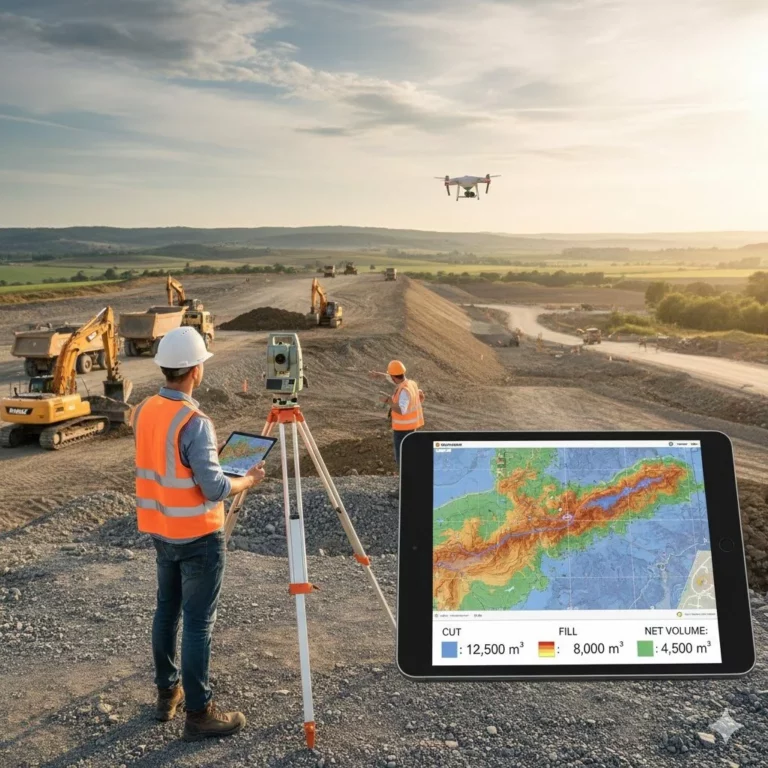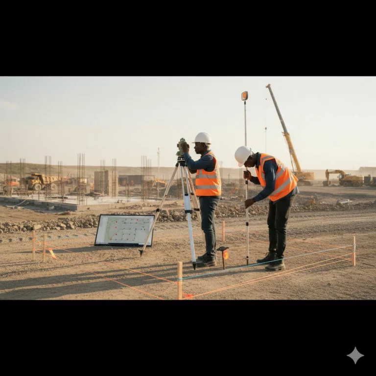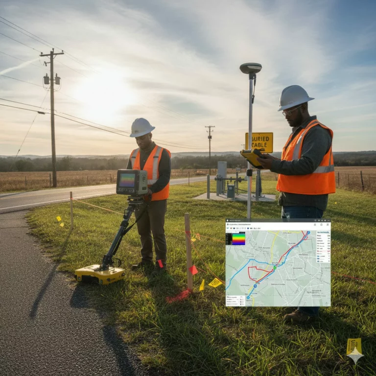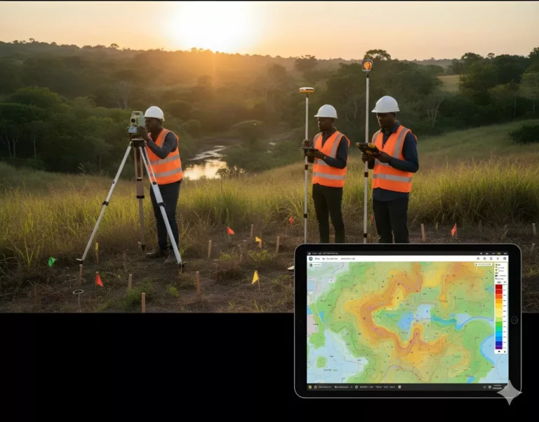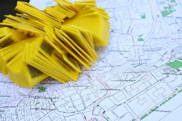

Geodetic Ground Control
Geodetic controls are the cornerstone of accurate mapping and construction.
We establish high-precision control points using GNSS and total station methods tied to national or global coordinate systems. These serve as reliable references for all future surveys and construction work.
Outcome: Consistent, precise, and reproducible survey data across all project phases.