
Beyond Boundaries: The Role of GIS in Sustainable Urban Development
Introduction
Cities are living systems — complex, dynamic, and constantly evolving. As Ghana’s urban centers expand, the demand for smarter, more sustainable planning grows. Geographic Information Systems (GIS) are now at the heart of this transformation, helping planners visualize, analyze, and manage data for better decision-making.
At FMB Engineering Limited, we harness GIS technology to design and monitor development that’s sustainable, efficient, and future-ready.
Understanding GIS
GIS integrates spatial and non-spatial data to produce digital maps and models that reveal patterns, trends, and relationships.
In practical terms, it allows planners to answer questions like:
- Where should new roads or utilities go?
- How will urban growth affect flood zones?
- What’s the most efficient route for public services?
GIS in Urban Planning
GIS supports sustainable cities by combining environmental, social, and economic data into a single platform.
FMB Engineering uses GIS to:
- Map land use and zoning for municipalities
- Identify flood-prone and erosion-risk areas
- Optimize road and drainage networks
- Plan utility lines and public amenities
With these insights, decision-makers can plan cities that balance growth with environmental resilience.
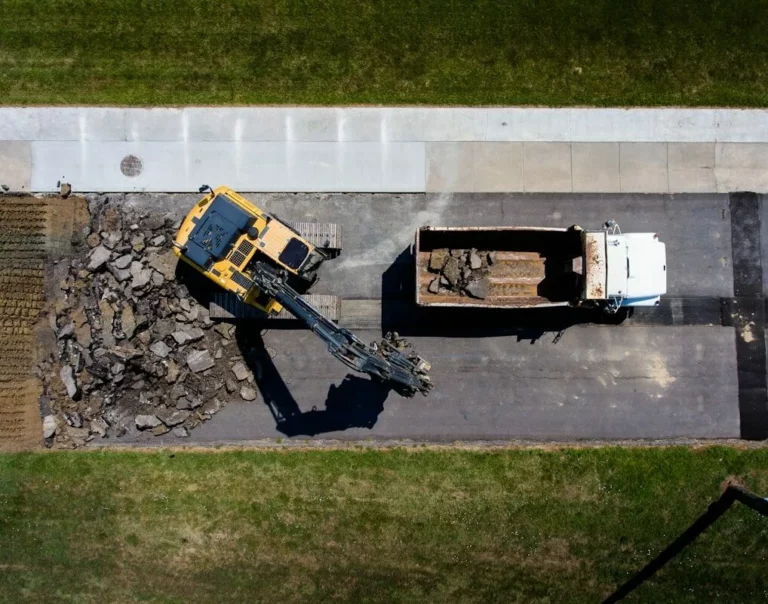
GIS and Infrastructure Monitoring
Beyond planning, GIS plays a vital role in infrastructure management.
By integrating survey data with GIS platforms, FMB helps local authorities monitor roads, bridges, and utilities in real time — detecting issues early and prioritizing maintenance where it’s most needed.
Supporting Environmental Sustainability
Sustainable development requires understanding the interaction between human activity and natural resources. GIS provides the tools to model deforestation, land degradation, and water flow, helping stakeholders take preventive action.
Our team uses spatial data to guide environmentally responsible infrastructure design.
Empowering Decision-Makers
GIS democratizes data. Through interactive dashboards and visual maps, stakeholders — from government agencies to developers — can access reliable information for quick, evidence-based decisions.
At FMB, we build custom GIS databases that simplify complex data, making it accessible and actionable for our clients.
Conclusion
In today’s rapidly urbanizing world, sustainability depends on knowledge — and GIS delivers it.
FMB Engineering Limited continues to empower Ghana’s development sector with the tools and data needed to build smarter, safer, and more sustainable cities.
Mapping today for a sustainable tomorrow — the FMB way.